A magnitude 4.1 earthquake struck a mountainous area of south-central Italy shortly after midnight on Saturday, alarming residents across several provinces but causing no reported injuries or significant damage, according to Italian seismic and emergency authorities.
Italy’s National Institute of Geophysics and Volcanology, known as INGV, said its National Seismic Network recorded the earthquake at 00:08 local time on July 25. The epicentre was calculated at approximately two kilometres west of Pizzone, a small municipality in the province of Isernia in the Molise region. The hypocentre was estimated at a depth of about 10 kilometres.
The location placed the earthquake near the meeting point of three Italian regions: Molise, Abruzzo and Lazio. The affected area includes mountain communities, national park territory and settlements connected by roads running through valleys and steep terrain. The relatively shallow depth contributed to the earthquake being clearly felt by people close to the epicentre and across a much wider area.
Residents described several seconds of noticeable shaking. Many people left their homes and gathered in streets and open areas while awaiting information from local authorities. In Pizzone, anxiety remained high for much of the night, and some families reportedly chose to remain in their cars rather than immediately return indoors.
Municipal officials said initial inspections found no casualties and no visible damage to homes or public buildings. Pizzone Mayor Vincenzo Di Cristofano remained in contact with Molise’s regional civil protection authorities as checks were carried out across the municipality. Further monitoring was organised during daylight hours to identify any damage that might not have been immediately apparent overnight.
The earthquake was felt throughout the Isernia area and was also reported in neighbouring provinces. Reports came from parts of L’Aquila and Chieti in Abruzzo, Frosinone in Lazio and Caserta in Campania. INGV’s analysis of public questionnaires indicated that the event was experienced across an extensive zone stretching from the Tyrrhenian side of the peninsula towards the Adriatic.
INGV said estimated shaking reached up to level V on the Mercalli-Cancani-Sieberg intensity scale in its instrumental ShakeMap. Responses submitted by residents suggested local intensities of up to V or VI in parts of Isernia, Frosinone, L’Aquila and Campobasso provinces. These intensity levels generally correspond to shaking that is widely felt indoors, may awaken sleeping residents and can move light objects without necessarily causing structural damage.
Magnitude and intensity measure different aspects of an earthquake. Magnitude represents the amount of energy released at the source and is assigned as a single value for the event. Intensity describes how strongly the earthquake was experienced at a particular location and can vary according to distance from the epicentre, depth, geological conditions and the characteristics of individual buildings.
The magnitude 4.1 measurement issued by INGV was a local magnitude, or ML, calculation derived from recordings made by seismic stations. The institute said the earthquake occurred at 22:08 Coordinated Universal Time on July 24, corresponding to 00:08 in Italy on July 25.
A smaller earthquake with a magnitude of 2.2 was recorded in the same area at 03:41 local time. It occurred at a depth of approximately nine kilometres. Other weaker tremors, all below magnitude 3, were also detected during the night. Such events are commonly described as aftershocks when they follow a larger earthquake in the same area, although seismic sequences are continually assessed as additional data become available.
Authorities did not activate large-scale assistance procedures because no displacement, injuries or infrastructure failures were identified. Molise’s civil protection service continued monitoring conditions and maintained contact with local administrations. Firefighters and technical personnel conducted precautionary inspections where necessary, particularly in buildings or locations considered potentially vulnerable.
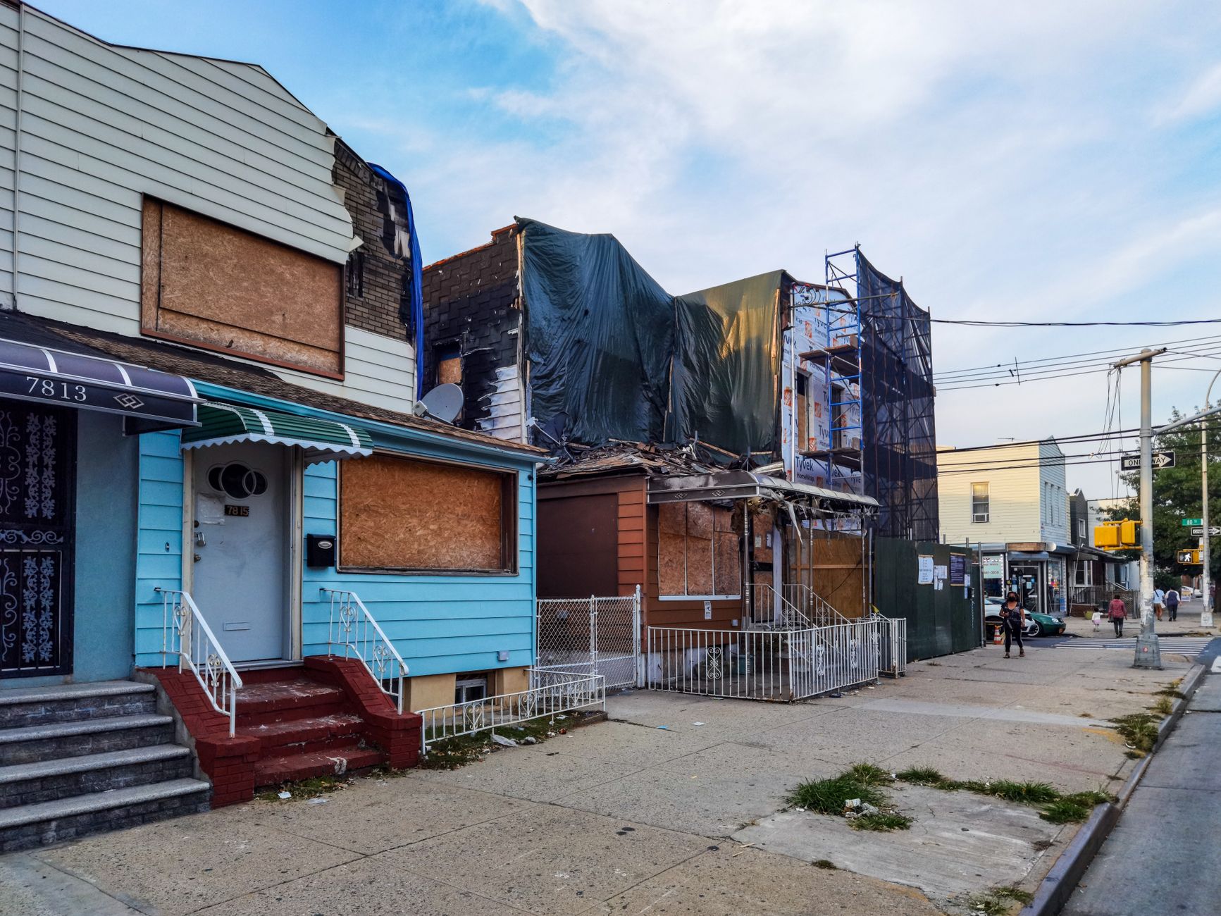
The agency responsible for Italy’s national road network, Anas, ordered checks on roads and infrastructure in the affected area. It later reported that no earthquake-related damage had been identified and that traffic was moving normally along the routes under its responsibility.
The Castel San Vincenzo dam, located near the epicentral area, was also inspected by its operator. Authorities reported no damage or operational problems at the structure. Checks on dams, bridges, tunnels and mountain roads are standard precautions following felt earthquakes because small cracks, rockfalls or displacement may not be immediately visible during darkness.
The absence of reported damage was consistent with the moderate magnitude of the earthquake, but officials continued to emphasise the importance of inspections. Earthquake effects depend on more than magnitude alone. A shallow event close to settlements can produce sharp shaking, while local soil conditions may amplify motion in particular valleys or built-up areas.
The building stock is another critical factor. Modern structures designed and maintained according to seismic standards generally perform better than older masonry buildings that may have undergone alterations or long periods without reinforcement. Even when no widespread damage occurs, local officials may inspect schools, municipal offices, churches and older homes before confirming that normal use can continue.
Pizzone lies within the Abruzzo, Lazio and Molise National Park area, close to the Mainarde mountain range. Its location near regional boundaries meant that the shaking crossed administrative jurisdictions, requiring communication among municipalities and emergency authorities in Molise, Abruzzo and Lazio.
The municipality and surrounding communities have direct historical memories of previous earthquakes. The mayor referred to the damaging 1984 earthquake near San Donato Val di Comino in Frosinone province, only a short distance from Pizzone. That event caused damage in several communities and required temporary accommodation for displaced residents, leaving a lasting impression on families in the area.
INGV classifies the region affected by Saturday’s earthquake as an area of very high seismic hazard. Its historical catalogue records several significant events in and around this sector of the central and southern Apennines. These include an estimated magnitude 5.2 earthquake in 1693, a major magnitude 6.8 event in 1349 southwest of the latest epicentre, a magnitude 4.8 earthquake in 1983 and a magnitude 5.9 earthquake in May 1984.
The institute’s instrumental records since 1985 show frequent and geographically dispersed seismicity in the wider area. This does not mean that a stronger earthquake is imminent. Seismologists cannot reliably predict the exact time, location and magnitude of future earthquakes, and individual tremors or small aftershocks should not be interpreted as certain warnings of a larger event.
Authorities therefore focus on continuous monitoring, rapid location of earthquakes, public information, emergency planning and the reduction of structural vulnerability. INGV’s seismic stations automatically detect ground motion, after which specialists review the data and update preliminary estimates when additional station readings become available.
Early earthquake parameters can change slightly as analysts refine the location, depth and magnitude. The figures published for the Isernia event represented INGV’s best available estimates based on the national monitoring network. The institute also combined seismic and accelerometric data with public reports to evaluate the distribution of shaking.

Reports submitted through INGV’s “Hai sentito il terremoto?” public questionnaire system helped map where the earthquake was perceived. These responses are valuable for assessing real-world effects, especially in areas where no strong-motion instrument is located immediately nearby. They are reviewed alongside data from professional monitoring networks rather than treated as substitutes for instrumental measurements.
Local authorities urged residents to rely on information from INGV, municipal administrations, the fire service and civil protection agencies. Unverified social-media claims can spread rapidly after an earthquake, particularly when people in several regions report shaking at the same time. Officials advised against circulating reports of damage or additional earthquakes unless confirmed by responsible agencies.
Standard safety procedures remain relevant while aftershocks are possible. Residents who notice new cracks, falling material, damaged utilities or unusual structural movement should avoid the affected area and notify emergency services or municipal authorities. People should not enter buildings that have been formally closed or declared unsafe until technical inspections are completed.
During shaking, civil protection guidance generally advises people indoors to protect themselves from falling objects, remain away from windows and avoid rushing towards stairs or exits while the ground is moving. Those outdoors should keep clear of buildings, walls, power lines and other structures that could shed material. Once the shaking stops, occupants should leave cautiously if there are signs of damage or official instructions to evacuate.
No formal evacuation order was issued in Pizzone following the magnitude 4.1 event. The movement of residents into streets and vehicles was voluntary and driven mainly by fear of further tremors. Officials said the situation remained under observation, with emergency organisations prepared to respond if inspections identified previously unnoticed problems.
The earthquake occurred during the peak summer period, when the wider national park area receives visitors and seasonal residents. Local authorities were therefore required to communicate not only with permanent residents but also with tourists who may have been unfamiliar with the region’s seismic conditions or emergency procedures.
By Saturday afternoon, available reports continued to indicate that the earthquake had caused alarm rather than physical destruction. Roads remained open, the dam was operating normally and no requests for emergency accommodation had been announced. Monitoring of the seismic sequence continued through INGV’s national network.
The event nevertheless served as a reminder that moderate earthquakes can affect communities across several Italian regions within seconds. In a country with extensive seismic exposure and a large stock of historic buildings, even non-destructive events prompt rapid checks of homes, public facilities and critical infrastructure.
Further updates were expected from INGV and local authorities if the seismic sequence changed or if inspections revealed damage. Residents in Isernia province and surrounding areas were advised to follow official channels and remain attentive to civil protection instructions while normal activity resumed.
Leave a Reply